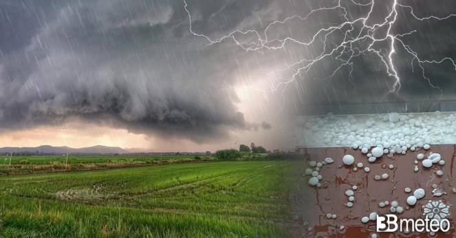
Severe squall line between Poland and Sweden: intense thunderstorms, hail, and flash floods

A low pressure system in the North Sea is influencing today northwestern, central and northern Europe, bringing scattered showers, thunderstorms especially between central Europe and Scandinavia. The last few days high temperatures were registered in central and northern Europe as a result of the domination of a high pressure system over the Mediterranean Sea which reached northern Europe. The big difference between the warm air masses and the cold air masses in the upper atmosphere developed a severe squall line today, which now is located between Czechia, Poland and southern Sweden, bringing severe weather with hail of medium or even large dimension locally, intense rain and a temperature drop. The intense rain brought flash flooding in many cities of western Poland, while hail covered the streets. The severe squall line will move eastwards across Poland and Sweden today, while at night will weaken as it moving towards eastern Poland and the Baltic states.
Tomorrow, severe thunderstorms are expected in Poland, in the Baltic states and Belarus.
#Poland (July 10, 2024) #hail The situation during and after the hailstorm in the Polish city of Wolbrom.
— Weather monitor (@Weathermonitors) July 10, 2024
Always keep informed
Follow to @Weathermonitors pic.twitter.com/gEh9JbJw9q
